
From the initial exploration of the fabric of the building, it didn’t look as if our home was more than a couple of hundred years old. However, one quite important thing to know if you own a water mill in France is what droits d’eau, water rights you have, if any. As Colin was quite taken with the idea of using the water wheel to generate our own green electricity at some point, we looked into what we needed to do to claim the water rights.
I discovered that the use of water power had been controlled since the sixteenth century by royal privilege. After the French Revolution, with all privileges abolished, it was l’administration which granted water rights and each new mill was allotted its règlement d’eau, which set out the nature of the rights, size of the works, and quantity of water to be used.
Because so many older mills had never had a written title to their water rights (and if they did it had probably been destroyed in the many archives that were lost during les guerres anglaises, Hundred Years War,
and then the revolution,) it was decided that if the owner could show that their mill existed prior to the 1789 revolution and it was on a non-navigable waterway, the mill would have its rights fondés en titre, which meant that it was automatically recognised as having water rights.
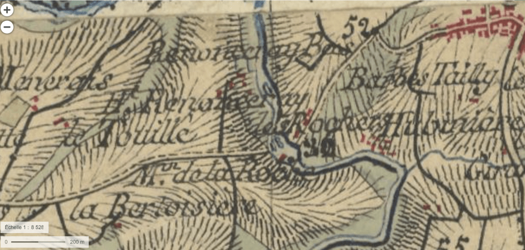
The principal way of proving this was if your mill was shown on the Carte Cassini, the first topographic and geometric map established of the Kingdom of France as a whole. It was compiled by four generations of the Cassini family, mainly César-François Cassini (Cassini III) and his son Jean-Dominique Cassini (Cassini IV) between 1756 et 1815.
This looked like a good place to start. I googled ‘carte Cassini’ and found a digital version on the Bibliothèque nationale de France’s Gallica website.
The only problem is that this family were pretty prolific cartographers and there are hundreds of documents and maps available. Finding the relevant map and then finding your property on it can be quite a task.
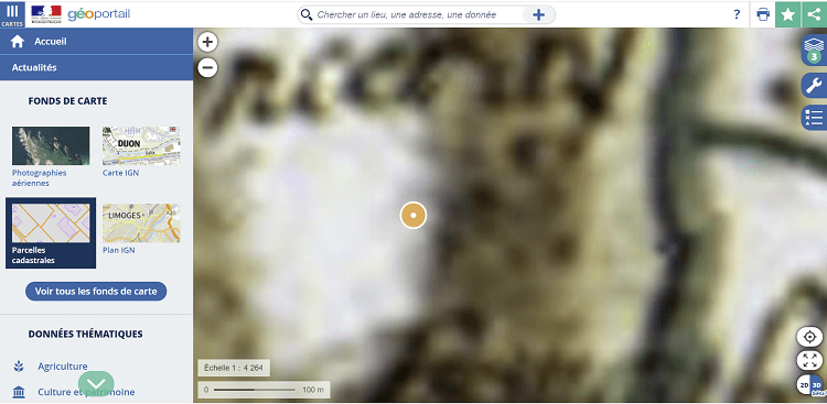
A much easier-to-use resource is the Géoportail website.
This lets you search on the address of your house and if you click on the Cartes menu in the top left hand corner and then on the button labelled Voir tous les fonds de cartes you will see a selection of maps, including satellite and aerial images from different years, cadastral (land registry) plans and the aforementioned carte Cassini.
So, was our mill on the carte Cassini?
YES!!!
The Cassini map for our area was created in 1761, so the mill is at least that old.
Some other interesting things came from examining some of the other maps available on the Géoportail site.
- An aerial photo of the mill taken some time between 1950 and 1965 shows an additional extension to the front of the mill, which no longer exists. As it is likely that this was a 20th century extension, I’m not too heart-broken at this loss.
- The carte de l’état-major (1820-1866) reveals that the bridge, where the road from the village now crosses the river next to the mill, didn’t exist at that time.

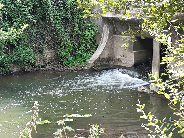
Instead it was most likely to have been a ford which ran from the village side of the river to a lane which went directly along the front of the mill before climbing back up to the road leading to the next village. This is borne out by the fact that in the summer, when the river is low you can see the remains of a cobbled track across the river under the bridge. Something to check out.

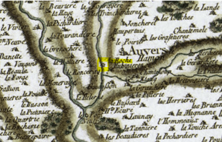
Actually, just going back to the Gallica website that I mentioned earlier, if you have got the time and the inclination it is worth having a trawl through some of the other maps and documents you might find for your area on there. Just use the search engine to look for the name of your town/village even property, if it has a name, and you might be surprised at what comes up. I found another map of our area by another famous 18th century cartographer called Jaillot, which had been commissioned by the Bishop of Le Mans. Dated 1706, this also showed our mill (:-)!) but as well as that, it showed that the farm across the lane once had a ‘chateau ou maison notable’ and its own chapel, indicating that the owners must have been quite well-to-do at one time. This fact gave me another lead later on in my search, but that will have to wait until another post!
Have you found out anything about the history of your property? I would love to hear about it – please leave me a comment. And if you have any hints and tips for this newbie local historian, please let me know!
Right, next step for me is to hit the local archives.

One thought on “Mapping the past”